
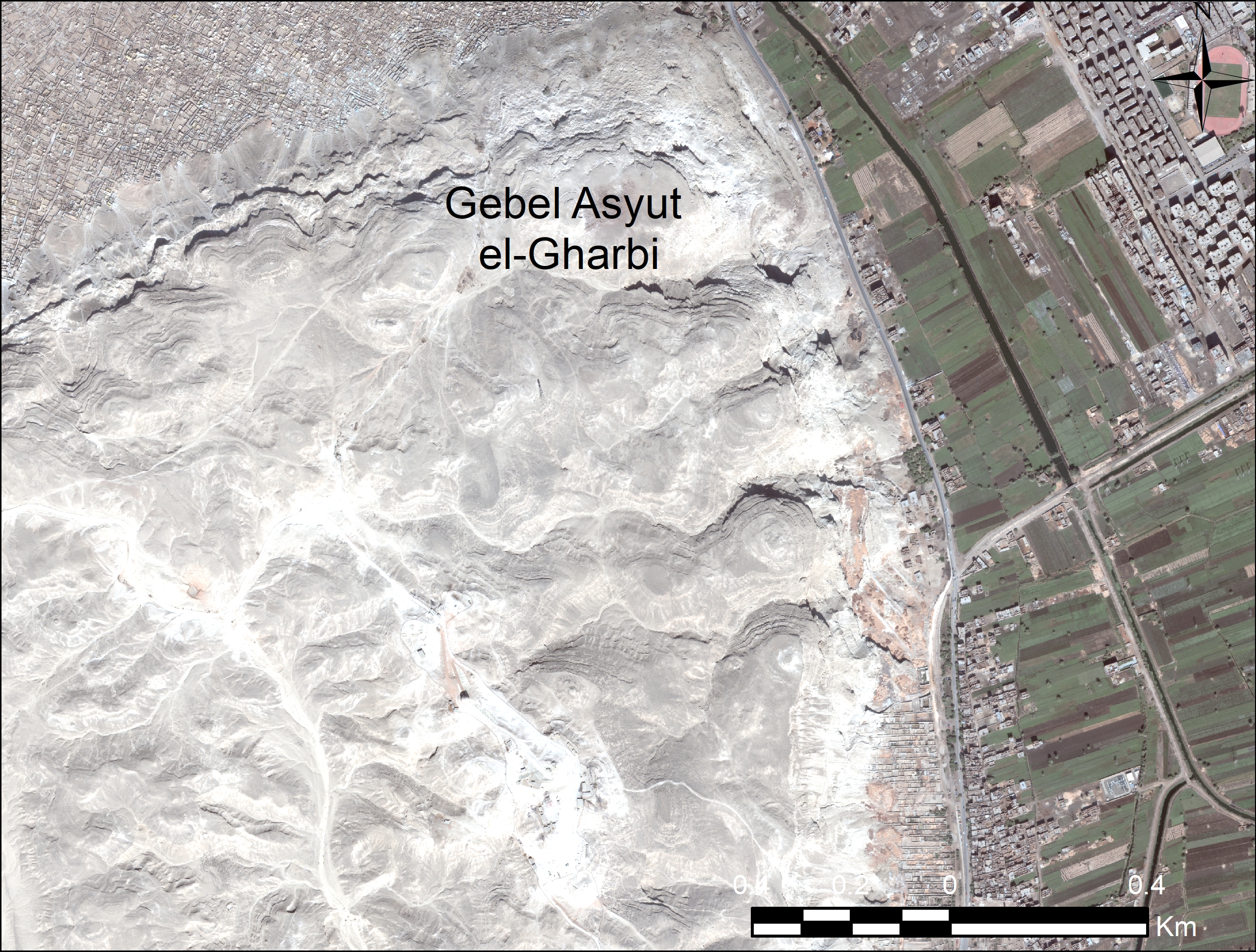
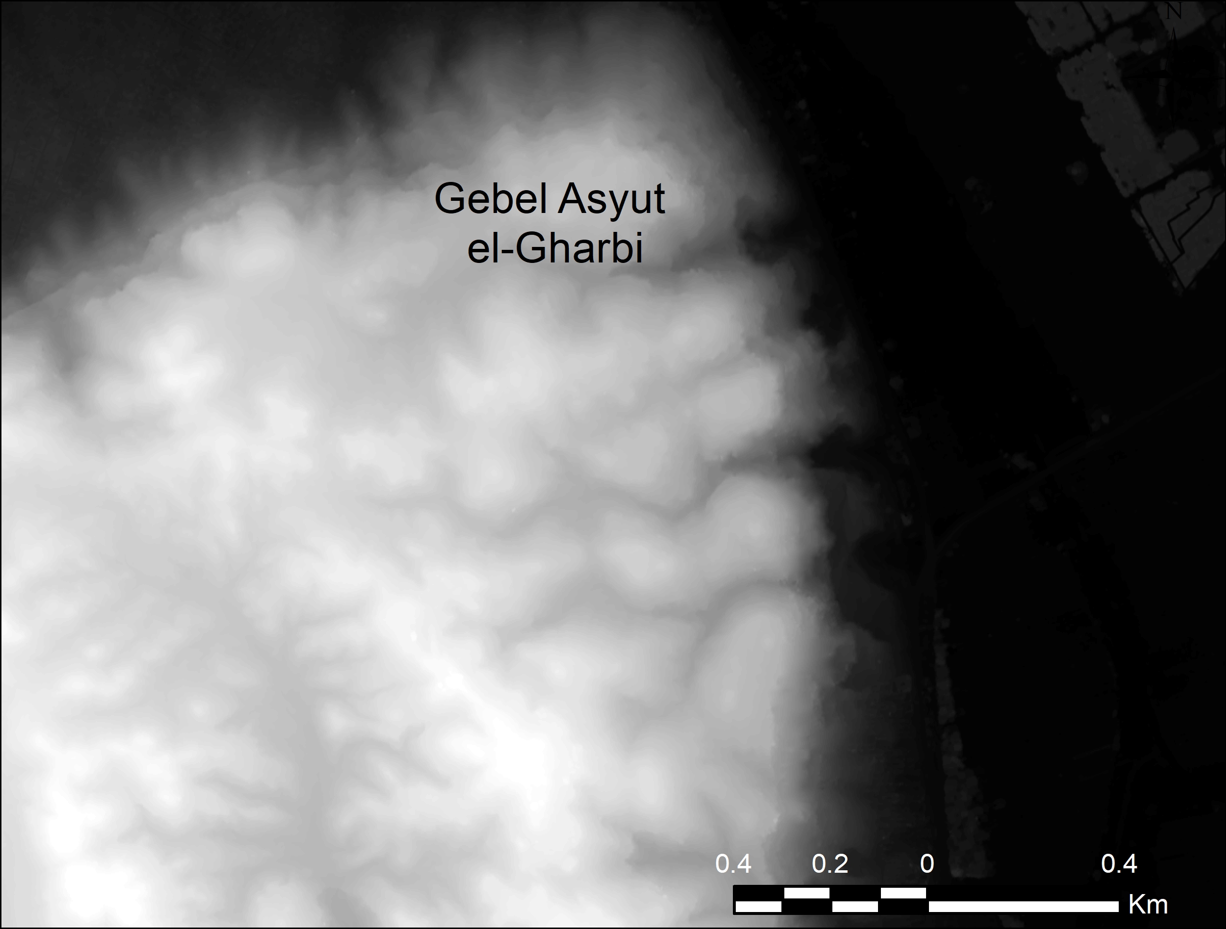
In my previous posts, I explained how to pan-sharpen and then mosaic Worldview-3 satellite imagery. The final phase of processing the ‘ortho-ready’ imagery is ‘orthorectification‘. To orthorectify the Worldview-3 imagery I used a 2m resolution digital surface model (DSM) generated by Digitalglobe from a stereo-pair of Worldview-2 satellite images of the same area of Middle Egypt as the Worldview-3 imagery. The DSM arrived as a single-band 2m resolution .tif where the value of each 2m pixel represents the surface height (the ground level if it was visible to the sensor, or the top of the tree or building that obscured the ground) at that point.
Orthorectifying
Orthorectifying shifts the satellite imagery using the digital surface model so that the imagery more accurately reflects the position of the features on the topography. There are multiple ways to orthorectify in ArcGIS using a DSM: in the Layer Properties> Display tab; in the Image Analysis window; or with the ‘Create Ortho Corrected Raster Dataset‘ in the Data Management>Raster>Raster Processing toolset. For these methods to work you will need the .RPB file (which I mentioned in the ‘pansharpening post‘) containing the RPCs for the satellite imagery. This .RPB file MUST live in the same folder and have the same file name as the image you wish to orthorectify. You can find a video of me using these methods to orthorectify the .TIL files of the satellite imagery here on my Youtube channel and below.
Acknowledgements
All the images in this blog post were created using ArcGIS® software by Esri. ArcGIS® and ArcMap™ are the intellectual property of Esri and are used herein under license. Copyright © Esri. All rights reserved. For more information about Esri® software, please visit http://www.esri.com.
Worldview-3 imagery © 2018 DigitalGlobe Inc. supplied by European Space Imaging.
Find out more
Related posts
-

Shifting mastabas: Georeferencing a plan of a Fourth Dynasty Egyptian mastaba cemetery, at Abu Rawash.
-

Kinky Temples: Satellite imagery ‘fails’!
-

Ditch that total station and grab your tablet? ArcGIS Collector and QGIS QField mobile-GIS survey apps reviewed.
