Why are some sites so hard to find on the map? A misidentification of a location visited by Alan Sorrell in 1962 offers some possibilities.

Why are some sites so hard to find on the map? A misidentification of a location visited by Alan Sorrell in 1962 offers some possibilities.

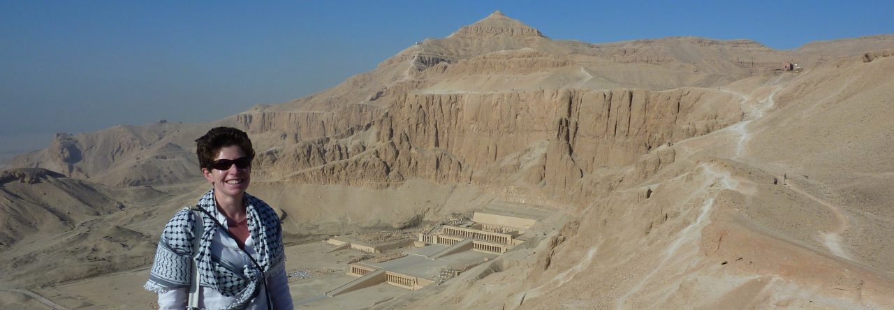
Can we follow a historic excavator across his site, and how good are ArcGIS Story Maps for modelling that? This post finds out.

In my previous posts, I explained how to pan-sharpen and then mosaic Worldview-3 satellite imagery. The final phase of processing the 'ortho-ready' imagery is 'orthorectification'. To orthorectify the Worldview-3 imagery I used a 2m resolution digital surface model (DSM) generated by Digitalglobe from a stereo-pair of Worldview-2 satellite images of the same area of Middle …
Continue reading Orthorectifying Worldview-3 satellite imagery of Gebel Asyut el-Gharbi

How to pan-sharpen Worldview-3 satellite imagery of the Asyut region.

How to mosaic pan-sharpened Worldview-3 imagery in AcrGIS.

How to enhance a composite 3-band satellite image with a panchromatic band, by pan-sharpening in ArcGIS.

How to create a natural 'true colour' image from single Landsat-8 satellite image bands.

Results of the mobile GIS survey in 2017 at the Hatnub quarries and links to the published papers.

How do we answer questions when the data exists but there's no direct access? A real-world solution to a fuel shortage problem encapsulates the answer.

Where can you find free high resolution satellite imagery for your project, which is the best imagery and what are the issues with it?