How do archaeologists relate historic maps and plans to modern satellite imagery and maps? This post and video shows how a historic map of mastaba cemetery F at Abu Rawash, Egypt was georeferenced with ArcGIS.

How do archaeologists relate historic maps and plans to modern satellite imagery and maps? This post and video shows how a historic map of mastaba cemetery F at Abu Rawash, Egypt was georeferenced with ArcGIS.
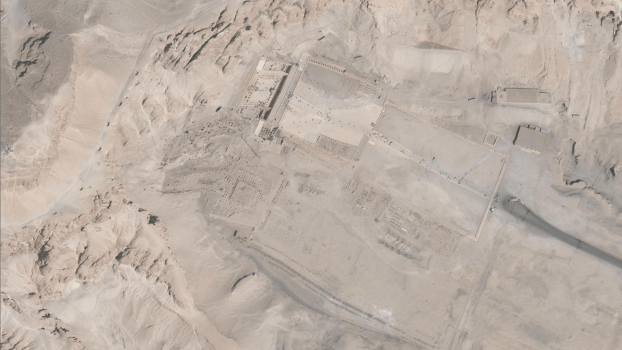
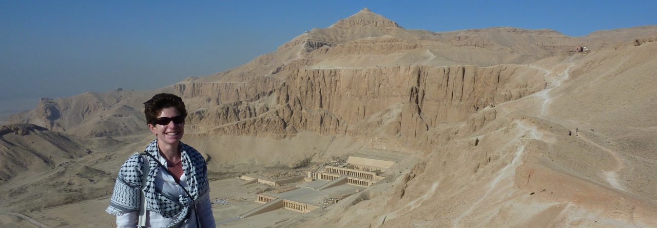
What happens when satellite imagery contains errors? Warping of the satellite imagery has left us with kinky temples at Deir el-Bahri.
How do the latest mobile-GIS apps measure up in the field? I review two new approaches to archaeological survey.

A new platform can make you a 'Space Archaeologist', but will it help looters too?
