Why are some sites so hard to find on the map? A misidentification of a location visited by Alan Sorrell in 1962 offers some possibilities.
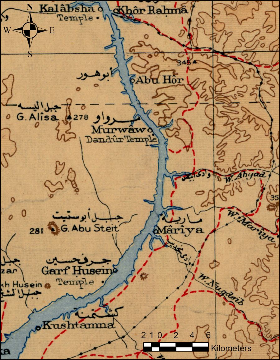
Why are some sites so hard to find on the map? A misidentification of a location visited by Alan Sorrell in 1962 offers some possibilities.

A review of an interesting exhibition on Alan Sorrell's paintings of the Nubian rescue campaign in 1962.
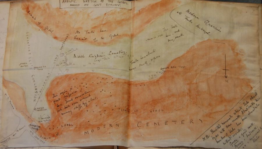
Can we follow a historic excavator across his site, and how good are ArcGIS Story Maps for modelling that? This post finds out.
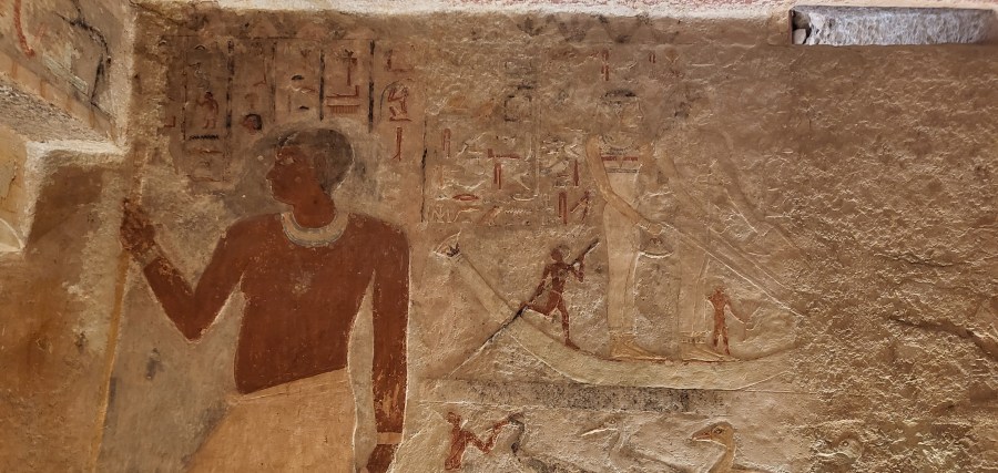
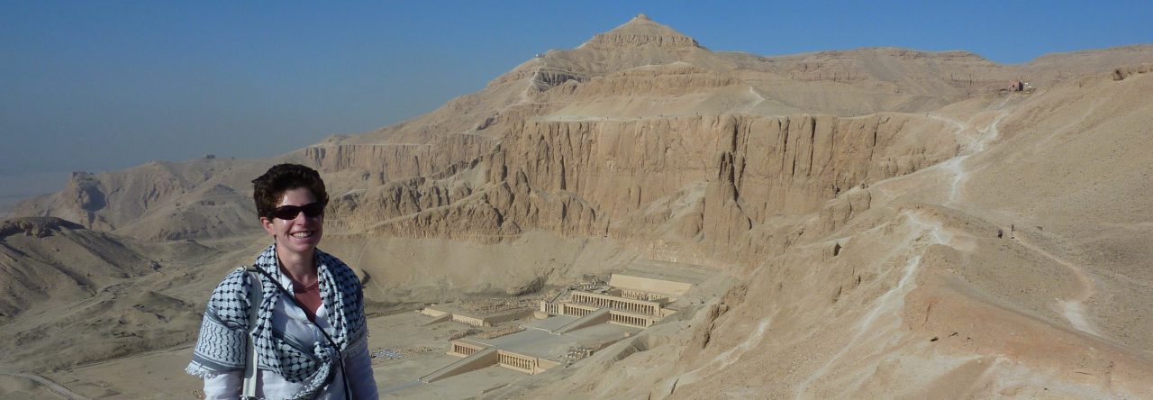
Visiting the unusual tomb of Meresankh III, granddaughter of Khufu, princess and Queen of Egypt.

The courtyard of the Grand Egyptian Museum, with the entrance to the left and the hanging obelisk of Ramses II to the right. The route from the obelisk to the entrance is flanked by colonnades and shallow lakes. (Author photo) The colossus of Ramses II, in position in the atrium of the GEM. (Author photo). …
Continue reading Grand Egyptian Museum Atrium and Immersive Tutankhamun: Review

In my previous posts, I explained how to pan-sharpen and then mosaic Worldview-3 satellite imagery. The final phase of processing the 'ortho-ready' imagery is 'orthorectification'. To orthorectify the Worldview-3 imagery I used a 2m resolution digital surface model (DSM) generated by Digitalglobe from a stereo-pair of Worldview-2 satellite images of the same area of Middle …
Continue reading Orthorectifying Worldview-3 satellite imagery of Gebel Asyut el-Gharbi

How to pan-sharpen Worldview-3 satellite imagery of the Asyut region.

How to mosaic pan-sharpened Worldview-3 imagery in AcrGIS.

What does the approved Stonehenge tunnel scheme mean to a planning archaeologist?

How does archaeology fit within the British planning system? or 'How to understand the background to the controversial Stonehenge Tunnel.'
