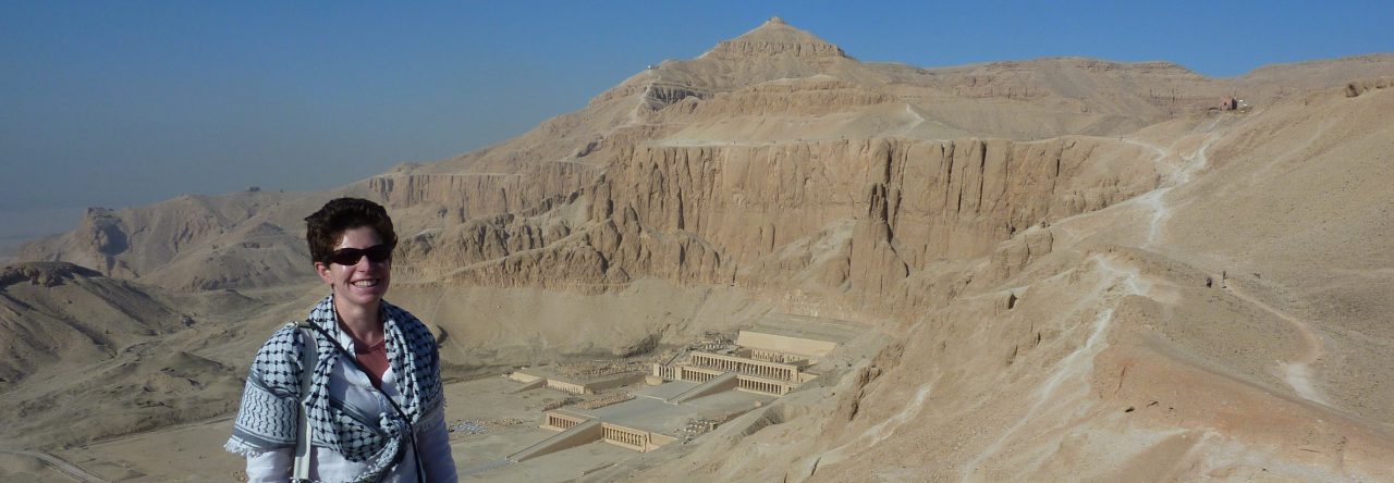
Satellite imagery is very precise but can still exhibit parallax. This is a particular issue for georeferencing historic maps, demonstrated here with reference to the Giza Pyramids.

Satellite imagery is very precise but can still exhibit parallax. This is a particular issue for georeferencing historic maps, demonstrated here with reference to the Giza Pyramids.
