In 2013, the Dra Abu el-Naga (south) Survey Project undertook extensive topographic, geological, and archaeological surveys of the southern part of the cemetery of Dra Abu el-Naga in the Theban Necropolis at Luxor. The aim of the project was to survey the locations of all the tombs, create an accurate topographic map of the area, and locate the ancient ground surface preparatory to modeling the evolution of the site from prior to tomb construction until the present day. The results would contribute to the director’s PhD research into the organisation of the necropolis, and provide consistent and precise coordinates for various research projects working within the Theban necropolis.
Archaeological surveyor and GIS specialist
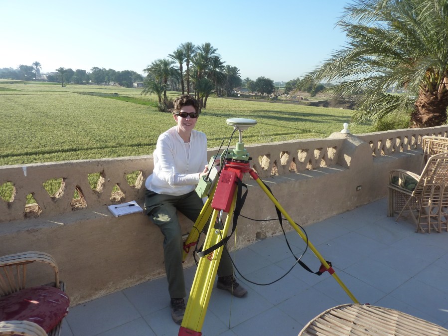
Archaeological, DGPS and Total Station survey
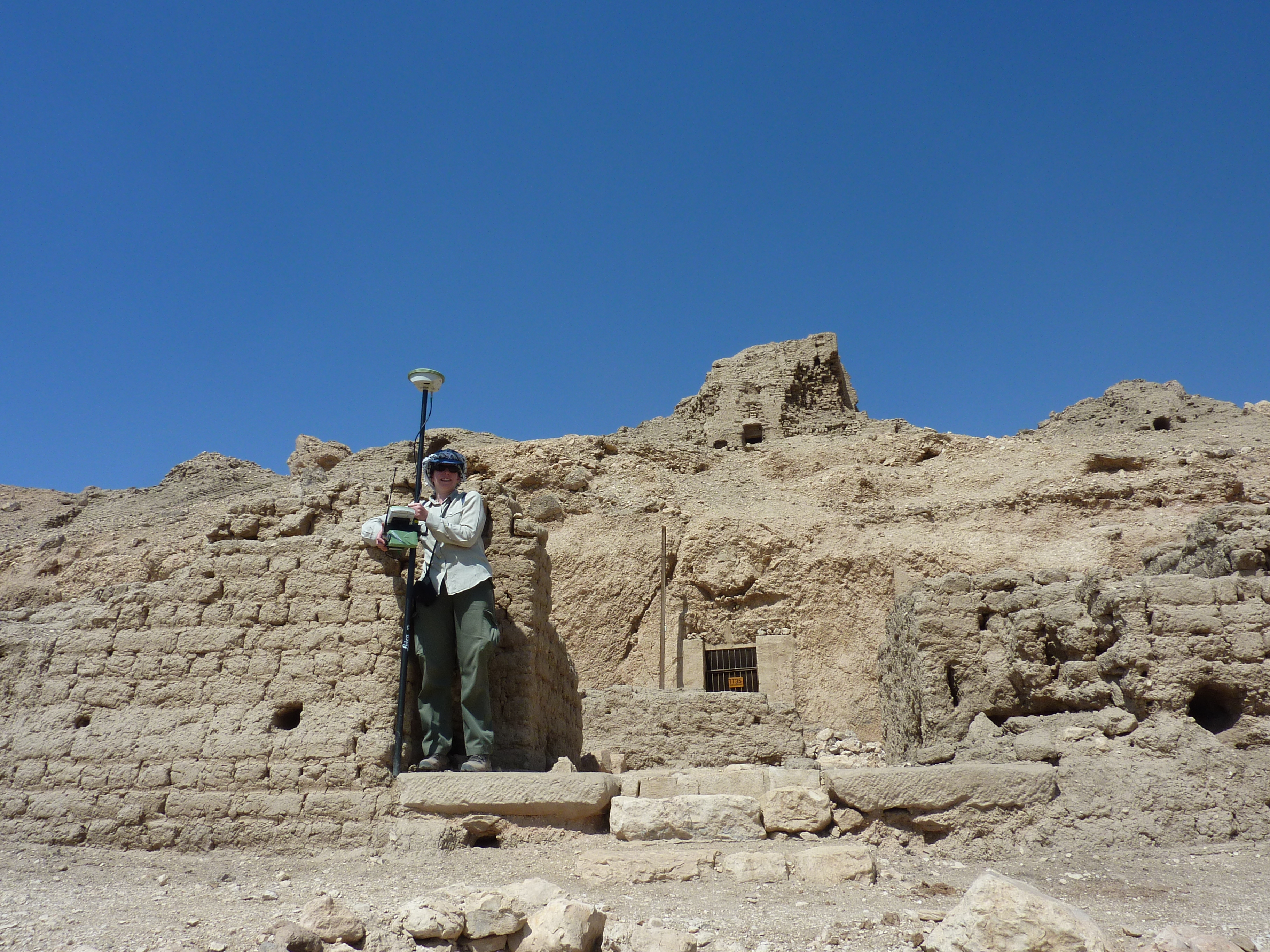
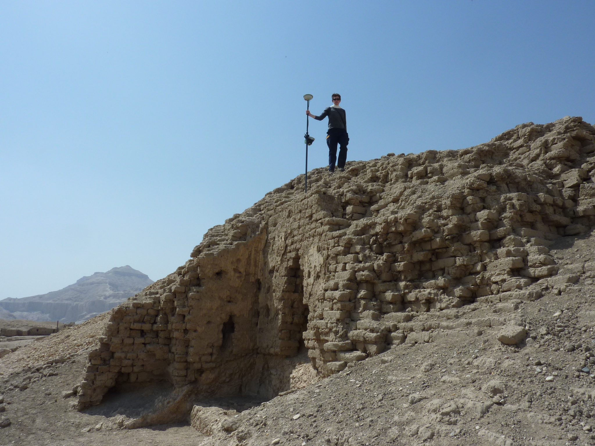


I led the real time kinematic (RTK) differential GPS and Total Station survey of the tombs and topography of Dra Abu el-Naga (South), integration with the geographic information system (GIS) and initial data processing. Following precise point positioning (PPP), which fixed the coordinates of the control stations and produced much more accurate results than the RTK DGPS survey alone, I re-processed the raw data for further analysis.
I worked on the Static Survey, to improve the quality of the DGPS data by recording for longer at specified points across the survey area and the Theban Necropolis in general.
I was also involved in the collection of DGPS data at other points across the Theban Necropolis, providing coherent, precise and accurate coordinates on a defined spatial system for control points associated with multiple different projects.
I contributed to two peer-reviewed publications detailing the approach, methods and results of the project.
Institution
University of Liverpool
Timeline
2013
Role
Archaeological surveyor
Funding
Djehuty Association
Outputs
- Six DGPS control stations were established; five across the Dra Abu el-Naga (south) survey area and one on top of the Marsam Hotel.
- 79 tombs were surveyed, including the external structures (courts; pylons; walls; mud-brick pyramids etc) of the 59 tombs with those features.
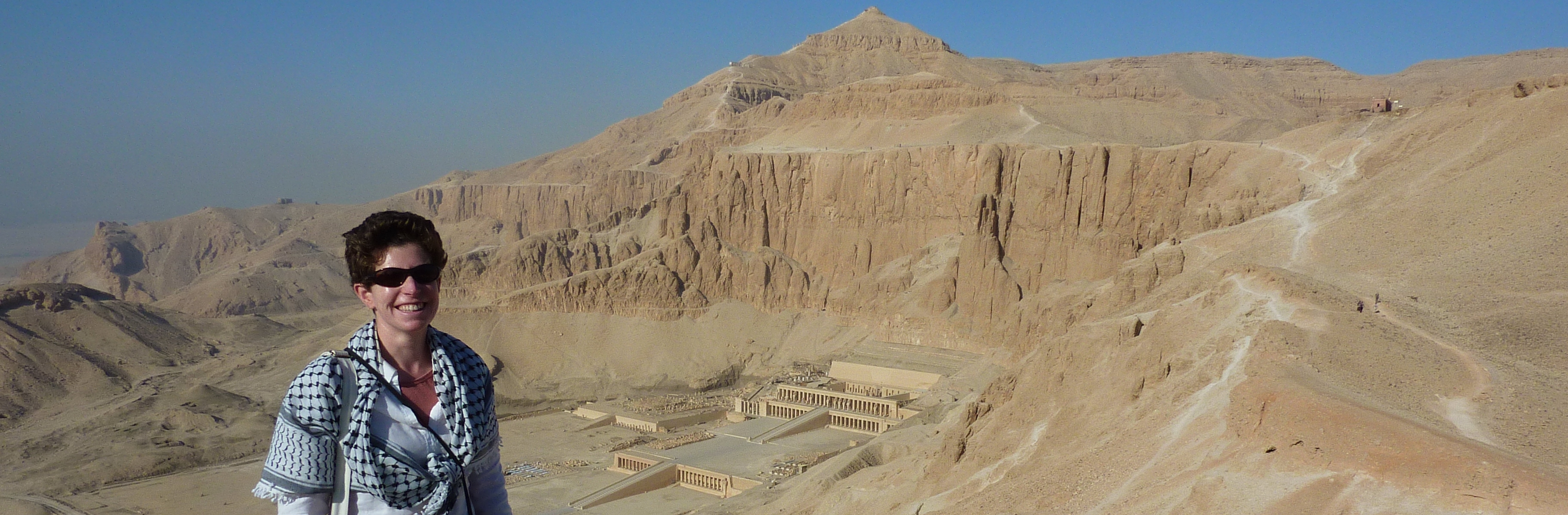
- Fixed points were recorded at the ‘Mansions of Millions of Years’ (Mortuary Temples) of Amenhotep III (Kom el-Hetan), Thutmose III, Seti I, Ramesses II (Ramesseum), Hatshepsut (Deir el-Bahri), Thutmose III and Merneptah.
- Control points were recorded, with permission, at Malkata; the Theban Harbours and Waterscapes Project (Marsam Hotel); the Belgian Mission in the Theban Necropolis; the Spanish Mission TT11-TT12; and at the ‘Mansions of Millions of Years’ of Amenhotep III (Kom el-Hetan) and Thutmose III. The survey also included Theban Mapping Project and Survey of Egypt points.
- Following post-processing with PPP the re-processed data was precise to c. 0.10m.
- Two peer-reviewed publications:
- Bardají, T. Martinez-Graña, A. Sánchez Moral, S. Pethen, H. García-González, D. Cuezva, S. Cañaveras, J.C. Jiménez-Higueras, 2017. A. Geomorphology of Dra Abu el-Naga (Egypt): the basis of the funerary sacred landscape. Journal of African Earth Sciences. 131: 233–250. DOI: 10.1016/j.jafrearsci.2017.02.036
- Jiménez-Higueras, Á., García, D., Pethen, H., Jones, E., Bardají, T., Martínez, A., Sánchez-Moral, S., 2023. An integrated model of the geomorphological and topographic landscape of the necropolis at Dra Abu el-Naga. Prague Egyptological Studies 31: 42 – 72. https://pes.ff.cuni.cz/en/magazin/2023-31-2/.
Acknowledgements
The team is grateful to the Permanent Committee of the Egyptian Ministry of Antiquities for permission to carry out this fieldwork. We would also like to express our deepest gratitude to the Ministry of Antiquities (MoA) in Cairo and especially to the Minister of State for Antiquities, Dr. Mohamed Ibrahim and Dr. Mohamed Ismail, Director of the Permanent Committee and Foreign Missions Affairs. We also want to thank the Supreme Council of Antiquities (SCA) in Luxor, in particular Dr. Mansour Boraik, General Director of Antiquities in Upper Egypt and Dr. Mohamed Abd el-Aziz, Director of the Antiquities Department in the West Bank. Ablaa Abd el Hakk has been working with us as MSA Inspector. Rais Mohamed Farouk el-Quiftauy and Ahmed Shared have helped us considerably in the success of our work.
The Dra Abu el-Naga survey team are also grateful to Juan Vicent, Antonio Uriarte, Juan Luis Pecharromán, and CSIC for the loan of the GPS equipment, and to the Spanish-Egyptian mission at TT11-12, and especially to Juan Ivars, for the loan of the Total Station, access to their project data and permission to record control points in their concession. We also wish to thank José M. Galán, Suzanne Ostine, Diana Craig Patch, Peter Lacovara, Hourig Sourouzian, Myriam Seco, Joel Paulson, Angus Graham and Laurent Bavay for permission to record control stations in their concessions. Thanks are also due to Stuart A. Bazett Leakey of the Port of London Authority Hydrographic Surveying Department for advising on the processing strategy and error handling for the RTK survey and PPP. We are also grateful to the American Research Center in Egyp, and the Spanish Mission TT11-TT12 for Quickbird satellite imagery, and the Oriental Institute of Chicago CAMEL for CORONA satellite photography.
Get new content delivered directly to your inbox.


