
The Gurob Harem Palace Project was an international collaborative project 2006-2014 investigating the New Kingdom palace and town site of Gurob, in the Faiyum region of Egypt. The site is now being investigated by IFAO, directed by former Gurob Harem Palace Project team member, Marine Yoyotte. I joined the project in 2006 as an archaeologist and surveyor, and continued until 2012.
Archaeological surveyor, topographer and GIS specialist
Archaeological and topographic survey and landscape modelling


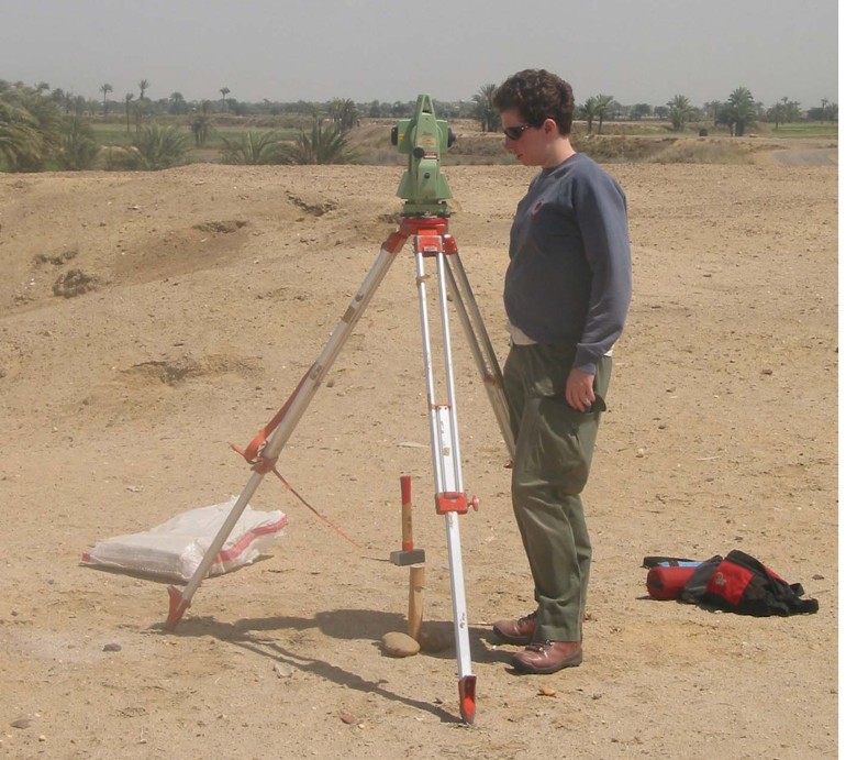
I worked on the initial site survey and grid layout in 2006 using a total station. During that and subsequent years, I also undertook archaeological tasks including sherd sorting, walkover survey and, site planning. In 2012 I took part in a control survey to improve the absolute accuracy of the coordinates for the survey control points set up in 2011. This involved five rounds of measurements at each control point to detect errors and improve the precision and reliability of the results.
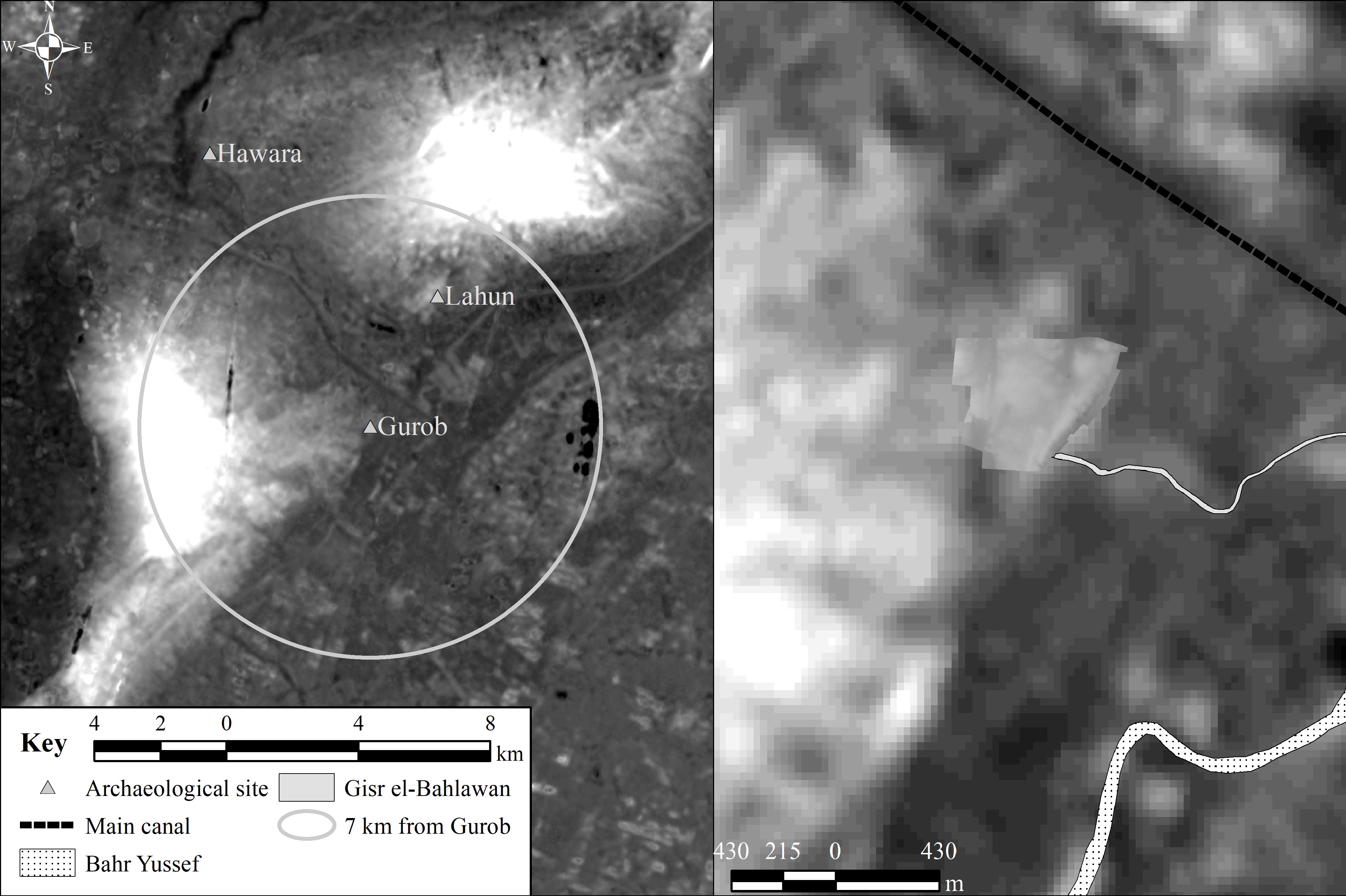
In 2011 and 2012, I completed a topographic survey of the area around the Harem Palace structures. The topographic survey recorded 10,206 points, which were used to interpolate a topographic model of the landscape in Quantum GIS. This model assisted in identifying possible buried features for further walkover survey, borehole survey and excavation.
I subsequently incorporated the topographic model of the Harem Palace into a larger (ASTER) satellite-imagery-derived model of the Nile valley at Gurob, creating a hybird model.
Institution
University of Liverpool
Timeline
2006-2012
Role
Archaeological surveyor and GIS specialist
Funding
The Carlsberg Foundation; The British Academy; The Wainwright Fund; Ancient World Tours; Friends of the Petrie Museum.
My outputs
- Archaeological survey data for the site from 2006-2012, including surviving visible structures, excavation areas, and locations of artefacts from walkover survey.
- Detailed topographic survey of the core part of the Harem Palace site.
- Topographic model of the Harem Palace site.
- Topographic model of the area, including the Harem palace site and the wider landscape, generated by combinign the topographic model of the Harem Palace area with a satellite-derived surface model.
- Jones, E. and Pethen, H. 2012. Archaeological mapping and topographical survey. In I. Shaw, (ed.) The Gurob Harem Palace Project, Spring 2012. Journal of Egyptian Archaeology 98: 44–46. DOI: https://doi.org/10.1177/030751331209800103.
Project outputs
- Six permanant, reliable coordinate control points for further survey distributed across the site as a whole.
- Fourteen publications and multiple yearly research reports can be found on the Gurob website https://www.gurob.org.uk
Acknowledgements
I am grateful to my PhD supervisor Ian Shaw and all my fellow members of the team since 2006. I would especially like to thank Anna Hodgkinson for early advice about using Quantum GIS and Liz Jones for all her hard work on the traverse and much advice since. The Gurob team would like to thank the Egyptian Supreme Council of Antiquities, later the Ministry of Antiquities, who gave permission for the research and our many wonderful inspectors over the years. The team would like to thank the Carlsberg Foundation, The British Academy; The Wainright Fund; Ancient World Tours and the Friends of the Petrie Museum for funding for this project.
Get new content delivered directly to your inbox.


