What makes georeferencing historic maps difficult and how does the process work? Here I georeference a problematic map of Abu Rawash, pyramid and cemeteries, Egypt.

Posts about technology and archaeology, how we use it, how it works and the results it provides us with.
What makes georeferencing historic maps difficult and how does the process work? Here I georeference a problematic map of Abu Rawash, pyramid and cemeteries, Egypt.

Satellite imagery is very precise but can still exhibit parallax. This is a particular issue for georeferencing historic maps, demonstrated here with reference to the Giza Pyramids.

How do archaeologists relate historic maps and plans to modern satellite imagery and maps? This post and video shows how a historic map of mastaba cemetery F at Abu Rawash, Egypt was georeferenced with ArcGIS.
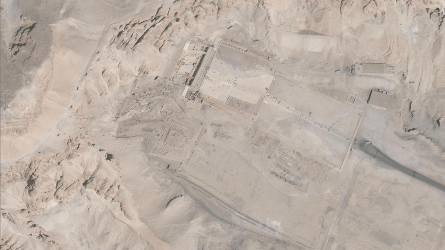
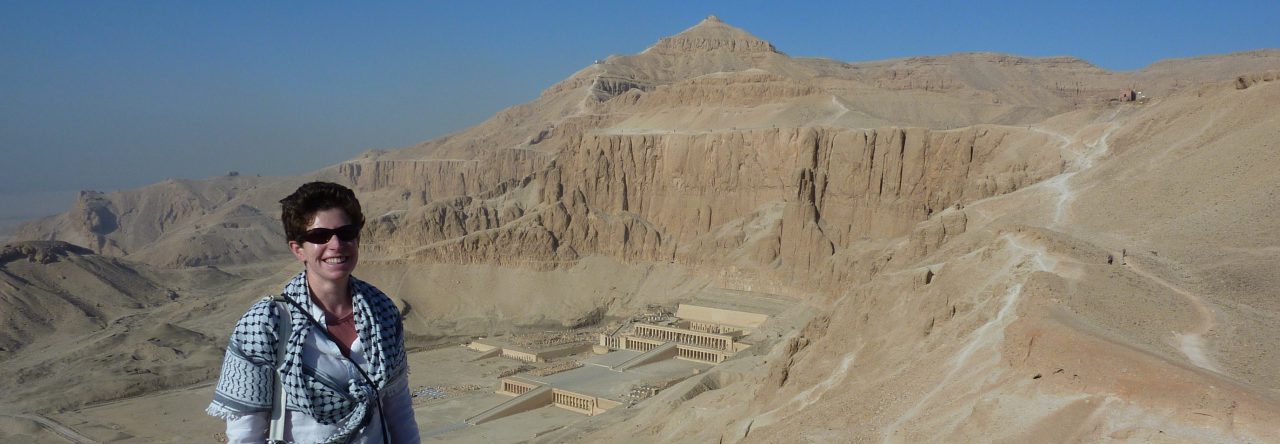
What happens when satellite imagery contains errors? Warping of the satellite imagery has left us with kinky temples at Deir el-Bahri.
How do the latest mobile-GIS apps measure up in the field? I review two new approaches to archaeological survey.

A new platform can make you a 'Space Archaeologist', but will it help looters too?
