Satellite imagery is very precise but can still exhibit parallax. This is a particular issue for georeferencing historic maps, demonstrated here with reference to the Giza Pyramids.

The parent category for all my blog posts.
Satellite imagery is very precise but can still exhibit parallax. This is a particular issue for georeferencing historic maps, demonstrated here with reference to the Giza Pyramids.

How do archaeologists relate historic maps and plans to modern satellite imagery and maps? This post and video shows how a historic map of mastaba cemetery F at Abu Rawash, Egypt was georeferenced with ArcGIS.
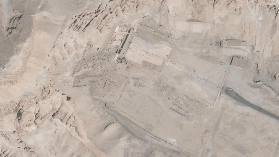
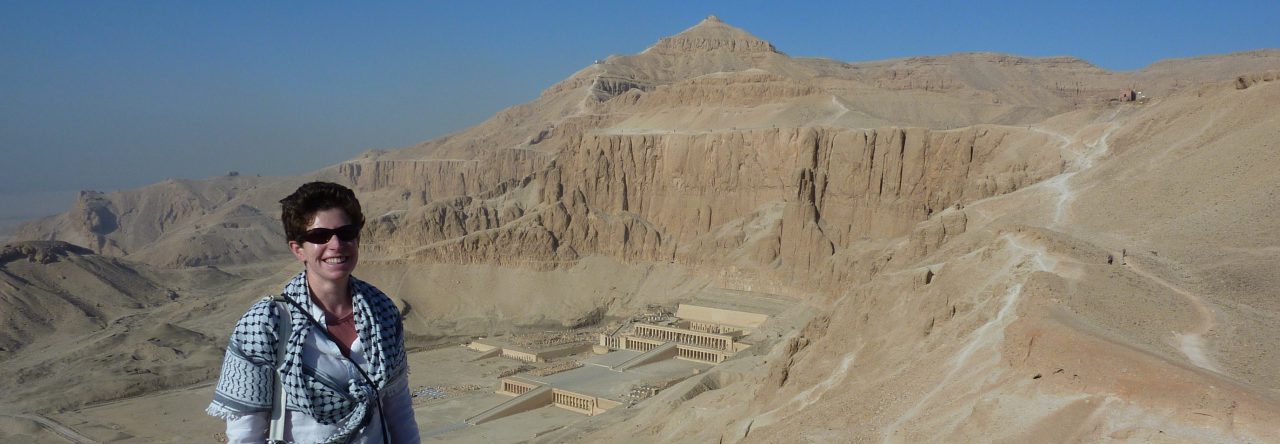
What happens when satellite imagery contains errors? Warping of the satellite imagery has left us with kinky temples at Deir el-Bahri.

What do we learn from comparing an Anglo-Saxon burial in Prittlewell with Egypt's famous Tutankhamun?
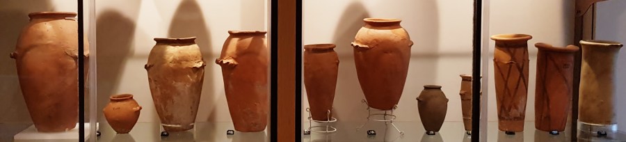
The Garstang Museum's 'Before Egypt' exhibition reviewed! Pots, palettes, some stunning artefacts and a female Pharaoh.
A Review of the new exhibition of the Prittlewell Princely burial in Southend Museum

How did Egyptians use their bedrooms? How do we interpret ancient spaces? Nadine Moeller's new book on Egyptian Urbanism provides food for thought.

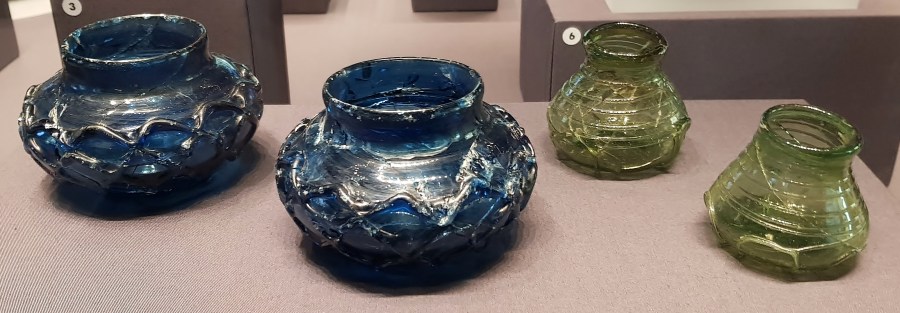
My recent visit to the Barcelona Egyptian Museum revealed some fantastic artefacts, but also raised unsettling questions about forgeries, provenance and the ethics of presenting recently purchased antiquities in museums.

The Egyptian Museum in Barcelona contains a number of interesting artefacts and is a fascinating place to visit.
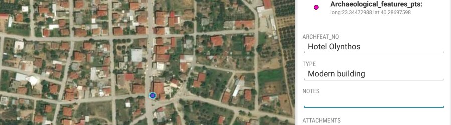
How do the latest mobile-GIS apps measure up in the field? I review two new approaches to archaeological survey.
